-40%
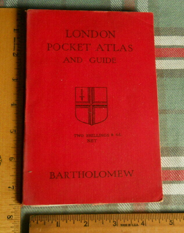
1939 Bartholomew and Son London Pocket Atlas
$ 12.97
- Description
- Size Guide
Description
1939 Bartholomew and Son London Pocket Atlassize approximately 5" w x 7 1/2" h
37 pages of maps both in color and black & white
93 index pages relating to streets and sites
. Early History. Plans of several major museums/sites as of 1930's..
*****
with UNDERGROUND MAP as of 1930's
****
sheet of London Restaurants and clubs with dancing or without dancing
produced by the BILLETING OFFICE
CENTRAL BASE SECTION
SOS ETOUSA
probably during the WW II era
